|
April 28 through May 4, 2007
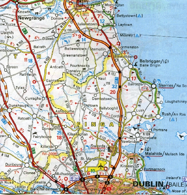
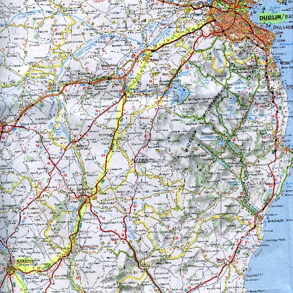
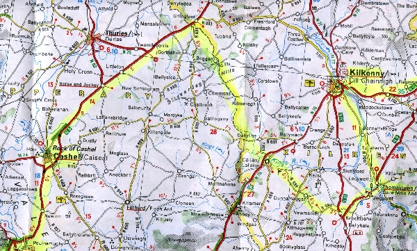
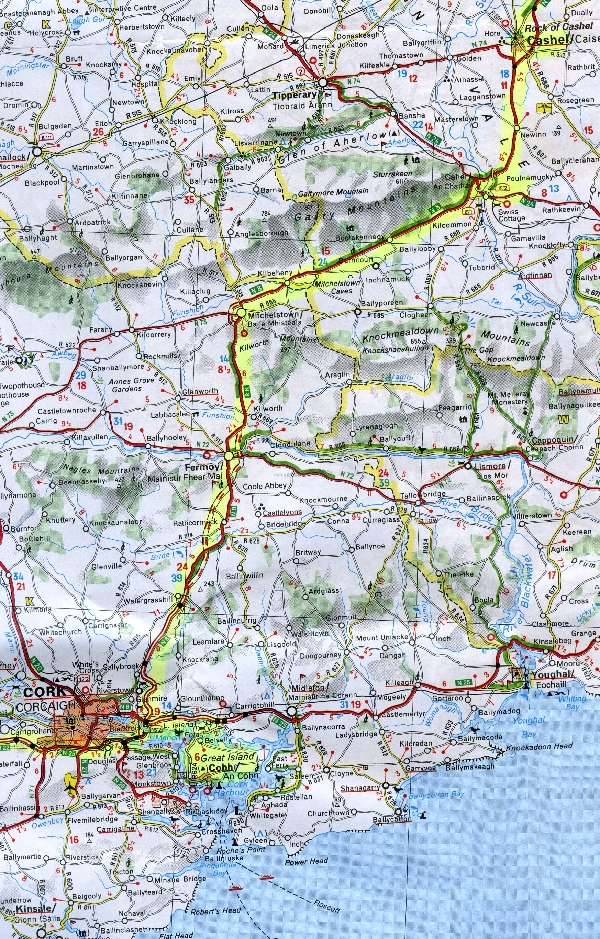
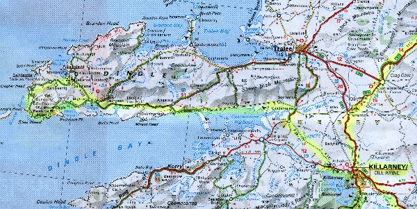
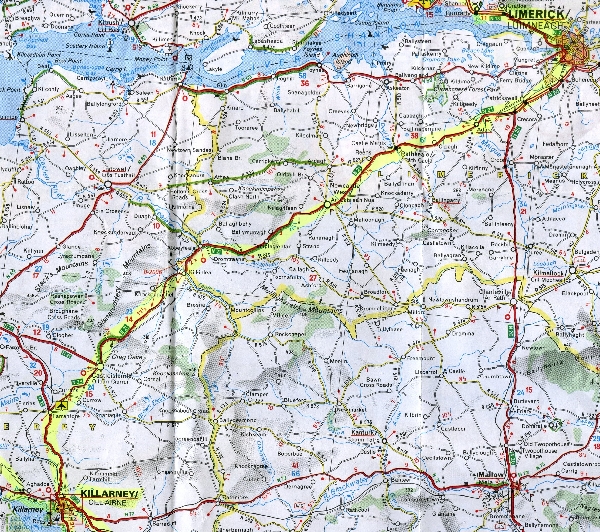
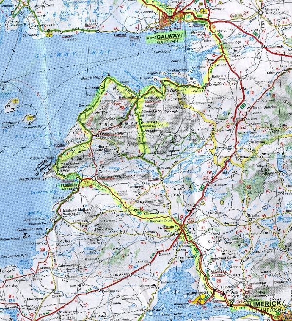
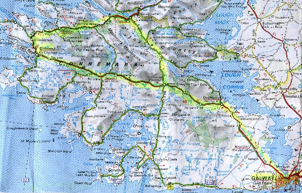
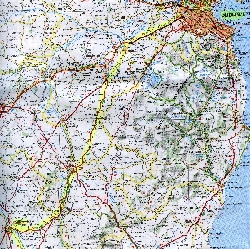
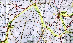
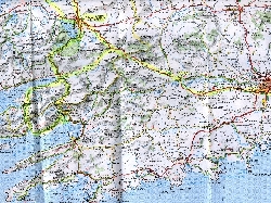
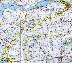
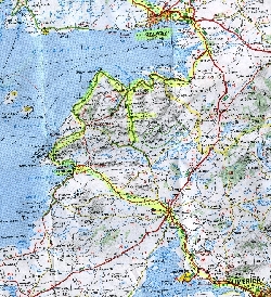
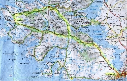
Toward the end of the trip, Martin volunteered to mark our maps with a yellow highlighter, to show all the roads we had taken and places we'd visited. These scans will give you at least a little idea of how much territory we covered in seven days. (County borders are yellow, too, which may be a bit confusing at first; in general, the first and last places mentioned in the caption will be at the two opposite corners of the map.)
 |
|
Sunday morning,
Dublin to New Grange |
Sunday afternoon, south to Kilkenny |
 |

|
Monday morning,
Kilkenny to Jerpoint to Cashel |
Monday afternoon, Cashel to Cobh |
 |
|
Tuesday, Killarney
and Dingle Peninsula |
Wednesday, Beara Peninsula
(plus Monday evening's
Cork to Killarney road) |
 |
|
Thursday morning,
Killarney to Adare
(just south of Limerick) |
Thursday afternoon, Cliffs of Moher, the Burren, and to Galway |
|
Friday, Connemarra,
Clifden, Kylemore Abbey |
Travel journal
|